
We create high-accuracy 2D orthomosaic maps and detailed 3D models using advanced LiDAR and photogrammetry technologies. By combining precise laser-scanning data with high-resolution aerial imagery, we deliver accurate terrain models, point clouds, and digital twins that provide a complete view of your project site for better planning, monitoring, and decision-making.
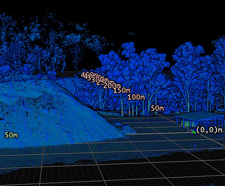
We provide an interactive platform where clients can view, measure, inspect, and analyze project data directly in the browser. Stakeholders can access aerial datasets anytime without requiring specialized software.
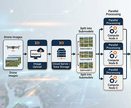
Our team processes aerial survey data and delivers outputs in industry-standard formats for engineering, GIS, and design applications, including:
• Orthophotos
• Digital Terrain Models (DTM)
• Point Clouds
• Textured 3D Models
• AutoCAD-Compatible Files
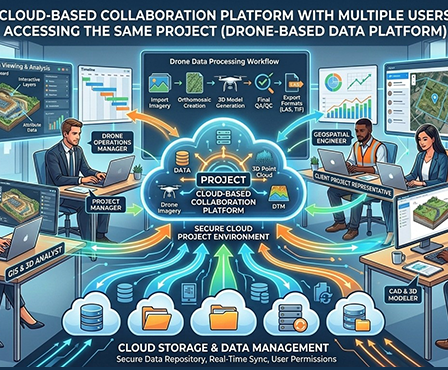
We offer secure cloud-based storage through flexible subscription plans. As project requirements increase, storage capacity can be scaled to ensure continuous access to historical and current survey data.
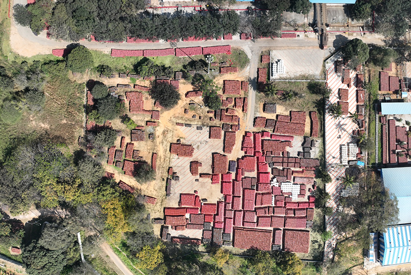

Eliminates the need for manual entry into hazardous environments
Reduces inspection time and operational disruption
Delivers detailed, high-quality visuals and actionable reports
Improves safety and inspection coverage
With ThirdEye Platform, you receive more than just data storage. We provide complete aerial data processing, visualization, analysis, and management services that help organizations gain actionable insights, improve operational efficiency, and make informed decisions using accurate geospatial information

We are dedicated to revolutionizing aerial technology with innovative solutions tailored for Industrial Inspection, Risk Assessments, Insurance catering to Cement, Power Plant, Chemicals, Oil & Gas, Marine Vessels, Mining and Infrastructure.

© 2025 SKYSCOUT SOLOUTIONS. All Rights Reserved.